


8:15 am on a January morning in Firestone Bay. I know I share this sort of image often but yesterday I did a little research on the area as it was in 1895. Because the tide is high the tidal pool is invisible apart from the three swimmers walking out on the slipway that forms one of the pool walls. In 1895 the pool did not exist. Next week’s research will be to find out the pools history.
I was able to spend a few minutes looking at old planning maps while I was working at The Box yesterday.

The orange arrow points out the place the Bobbers nearly always swim. We know our bay as Tranquility Bay but on this map it is marked as Ladies Bathing Place.
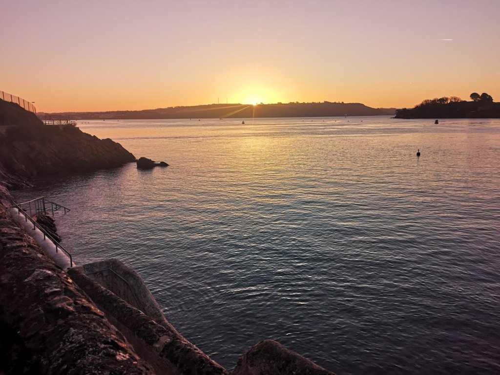
Here it is this morning. 5 minutes with an old map makes more questions than answers. When were the steps and walkways built that make this such a gorgeous and practical swimming location. Sadly the map also shows the more than thirty houses and a school that were lost in my own area during German bombing raids during World War II. Just looking out on my street I can roughly outline how many homes were lost. How many people and their beloved pets lost their lives?

5 minutes with an old map, so thought provoking, where will this Pondering end? Sunshine+ An old map= gratitude and the need to know more.
